Chad Forest Monitoring Portal
Forest Monitoring System
Choose your access point to monitor Chad's forest resources
Authentication Required
Please enter your institutional email to access the Dashboard
Welcome to Forest Monitor
Would you like to take the User Guide?
The guide will walk you through the main features of the dashboard including filters, export options, and dashboard analytics.
Dashboard Tour Guide
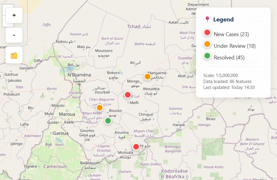
🗺️ Interactive Basemap Navigation
The main map displays Chad's forest coverage with real-time incident markers. You can zoom, pan, and click on incidents for detailed information. The map includes forest concession boundaries, protected areas, and administrative regions.
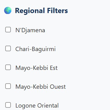
🌍 Advanced Regional Filters
Filter incidents by Chad's administrative regions. Multiple selections allow for comparative analysis.
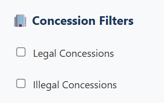
🏢 Concession & Activity Filters
View incidents by legal and illegal concession areas, . Track compliance and identify hotspots of illegal activities.
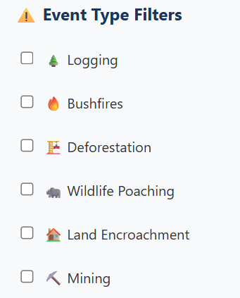
⚠️ Comprehensive Event Type Filters
Filter by incident types: Logging, Bushfires and more. Each event type has status tracking (New, Under Review, Resolved).
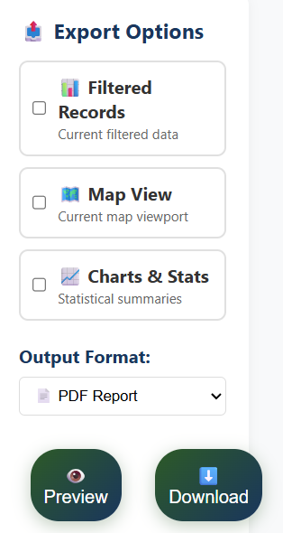
📊 Export & Preview System
Export filtered data in multiple formats (PDF, HTML, CSV). Preview reports before downloading, select specific data fields, and generate formatted reports for UN meetings and presentations.
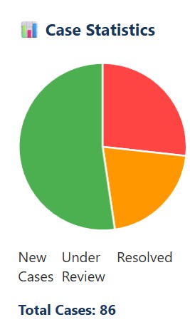
📈 Dashboard Analytics
View real-time statistics of new cases, cases under review, and resolved incidents. Track trends, generate summary reports, and monitor progress across all regions.
Quick Incident Report
Submit forest incident reports directly to the monitoring system